 |
| ...Map of the Okeechobee Waterway by the US Army Corp of Engineers... Click on image to enlarge Source: http://w3.saj.usace.army.mil/h2o/cameras.htm |
The Okeechobee Waterway consists of the St. Lucie River, the St. Lucie Canal, Lake Okeechobee, the Caloosahatchee Canal, Lake Hicpochee, more of the Caloosahatchee Canal and then the Caloosahatchee River, ending just beyond Ft. Myers at the Sanibel Causeway Bridge.
Would we run this route again? We might run it again. We do prefer being at sea and SAILING over motoring, but this was a really fun trip and we may use this waterway to return.


2 comments:
Glad the Gatorrs didn't get you while you transited thru Gator Alley. There's some big behemoths living in Lake O.
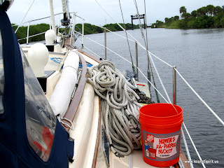
I also see you are getting more creative with that GoPro.
I expect to see a shot looking down at the windex before long :-)
Glad to see you made it across the state. That RR bridge is a challenge. At least you didn't have to hang off the boom like Beth did. Enjoying your creativity with the camera positions.
Mark & Beth
Post a Comment